
Alright, in this second update I figured I should give some history as to the formation of Cascadia, as well as a map of the major cities.
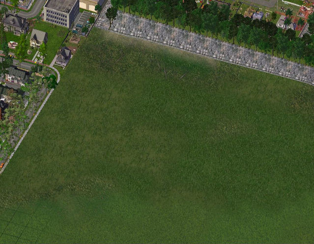
2-01
2-01
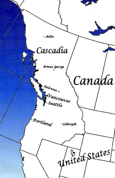
In June 2010, the leaders of British Columbia, Washington, Oregon, Idaho, and California got together for an environmental meeting. During the meeting, Premier Gordon Campbell of BC suggested that he thought the best way to protect the forests of the Pacific would be to create an independent nation. He argued that the forest could be better protected if the same laws and bylaws were in effect along the length of the Northwest Pacific. The leaders of the American states could find no major cons about this idea. So in January of 2011, the Pacific Nation of Cascadia came into being. The new citizens voted in Rodyl Damor, a previous MP from British Columbia.
Cascadia is divided into 3 states, 1 province, and 3 federal districts. Washington, Oregon, and Idaho were able to retain their old borders, with the exception of Idaho, which lost a part to the US. Northern California was amalgamated with Oregon, the Alaskan Panhandle was added to British Columbia, with Juneau staying in Alaska. Vancouver, Seattle, and Portland were made into federal districts, belonging to no state or province.
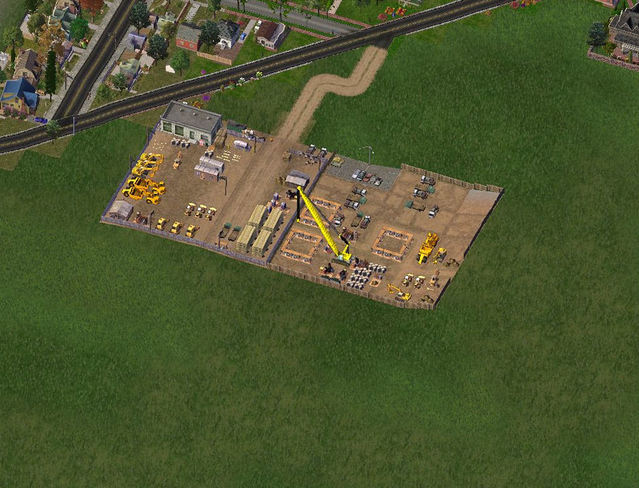
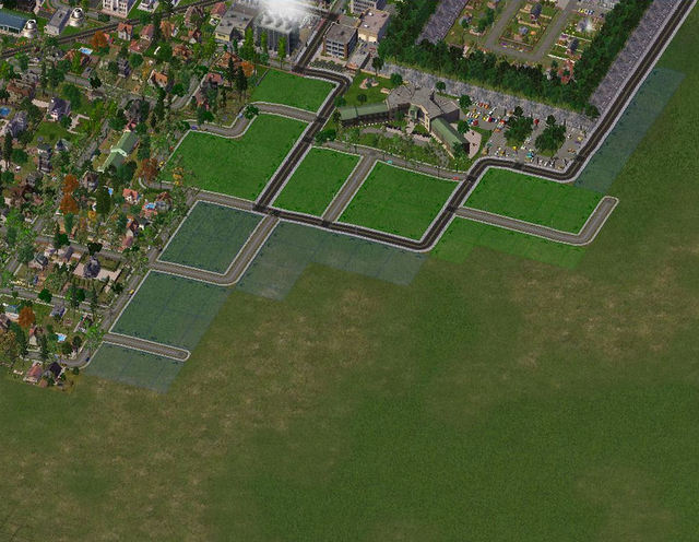
And now to Lakesyde...
2-02: ...where an underground mall is being constructed.
Cascadia is divided into 3 states, 1 province, and 3 federal districts. Washington, Oregon, and Idaho were able to retain their old borders, with the exception of Idaho, which lost a part to the US. Northern California was amalgamated with Oregon, the Alaskan Panhandle was added to British Columbia, with Juneau staying in Alaska. Vancouver, Seattle, and Portland were made into federal districts, belonging to no state or province.
And now to Lakesyde...
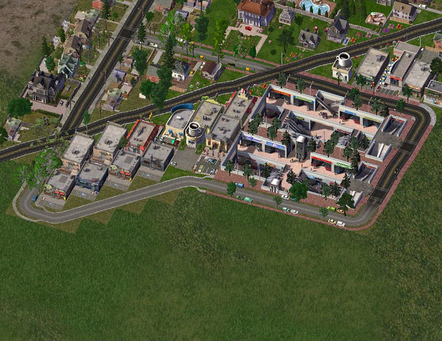
2-02: ...where an underground mall is being constructed.
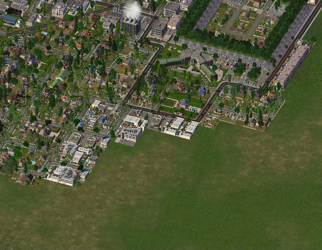
2-03: ... and finished.
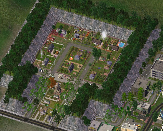
2-04: There's an interesting story behind this solitary group of houses. A neighbourhood of Lakesyde had two groups of families. They fought over the stupidest things. "This is my half of the street, if I catch you on this side again...", "Your tree hangs over my yard, that gives me the right to chop it down.", etc. So eventually they snapped. One group left and built these houses away from the rest of the city.

2-05: Eventually, the city got alarmingly close to the small settlement. So the families erected a wall, hoping to avoid further dispute
2-06: The families were horrified to learn of plans to develop the land around their enclosure. They fought the city, but eventually...
2-07: They lost, and the city prepped the land for development. The families fumed
2-08: The new developments were less than pleased with their new neighbours, but time went on, and the grudge passed. Eventually. At least the trip to school was shorter.
2-09:
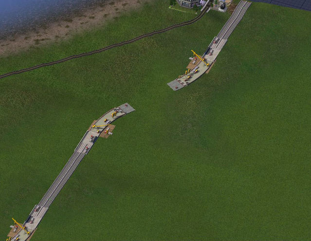
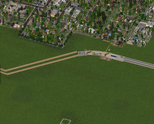
The city decided to put a highway on the city limits, as an alternate route into the city. Construction began in the Spring of 2040.
The city decided to put a highway on the city limits, as an alternate route into the city. Construction began in the Spring of 2040.
2-10:
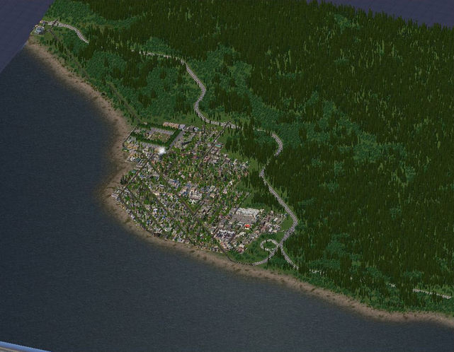
2-11: And a city overview, taken in the Summer of 2042
Interesting Lots and BATs
LEX:
c.p.'s Olympic Terrain Mod, Olympic Tree Controller
SFBT Allotments, Highway Bridge Construction Set
Jeronij's Residential And Rural Diagonal Walls Set V1
PLEX:
Subterranean Mall
Well, that's it for this update. I hope you enjoyed it and come back for the next one :D
-Jordan
LEX:
c.p.'s Olympic Terrain Mod, Olympic Tree Controller
SFBT Allotments, Highway Bridge Construction Set
Jeronij's Residential And Rural Diagonal Walls Set V1
PLEX:
Subterranean Mall
Well, that's it for this update. I hope you enjoyed it and come back for the next one :D
-Jordan

 RSS Feed