Jumping Canyons
 
Picture
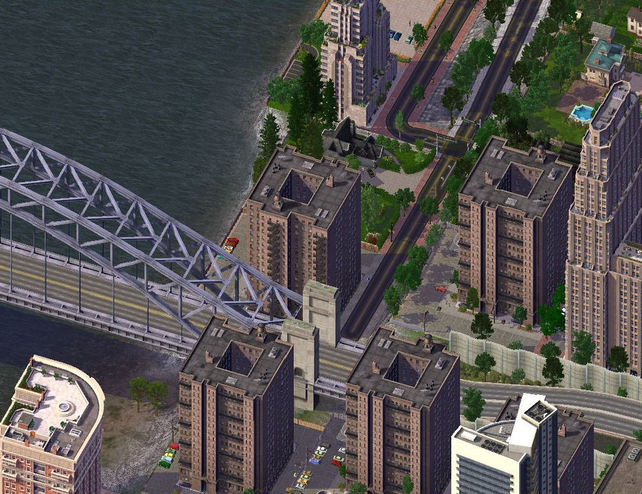
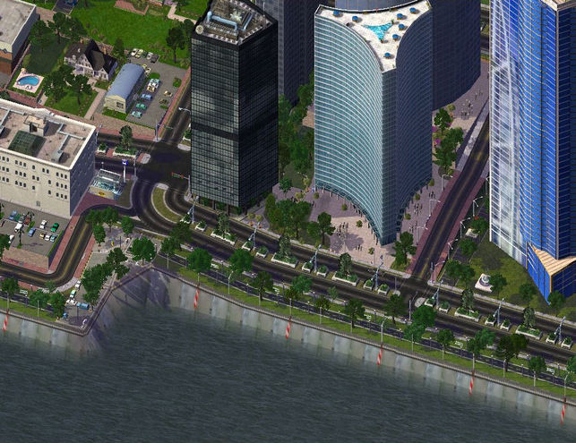
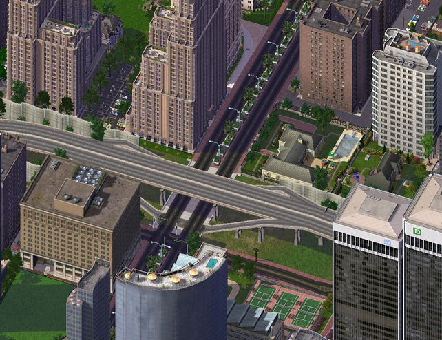
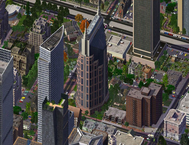
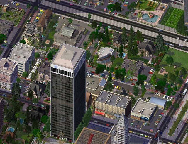
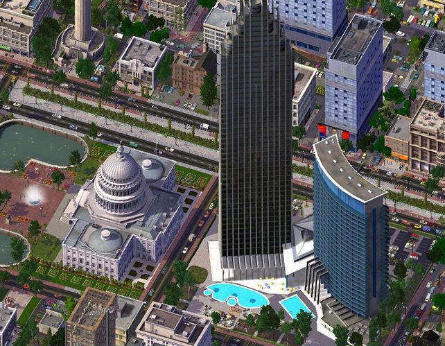
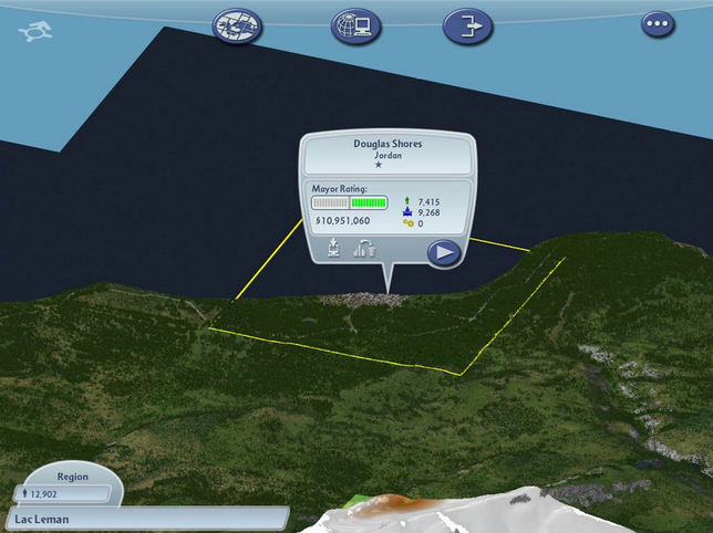
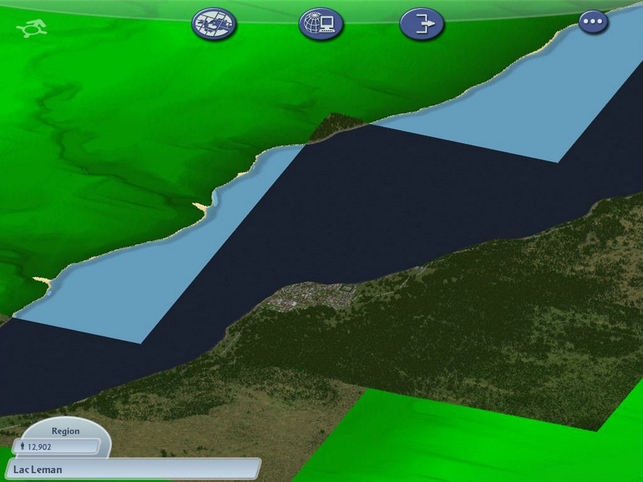
Alright, here's Hixon in it's entirety :thumbsup:!

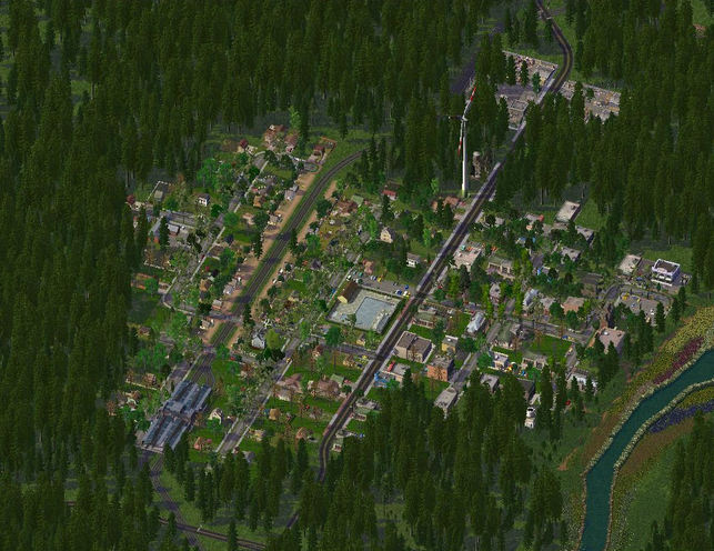
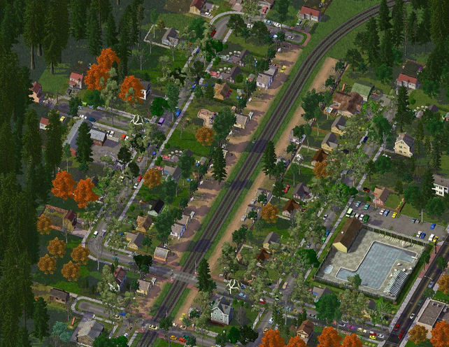
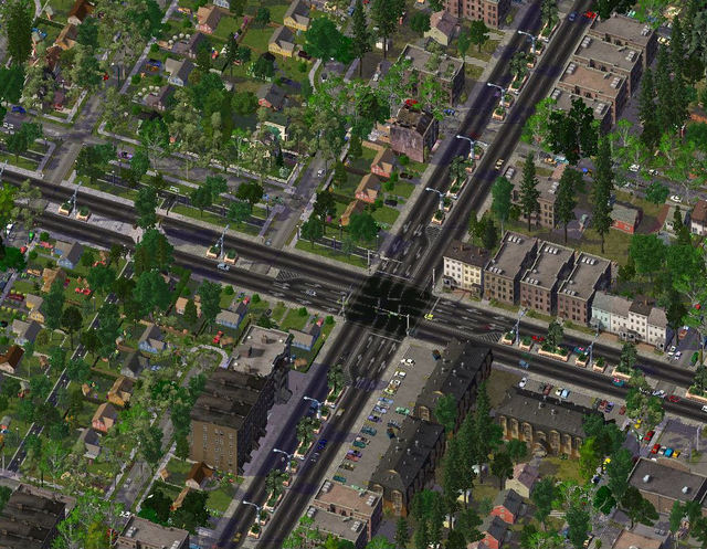
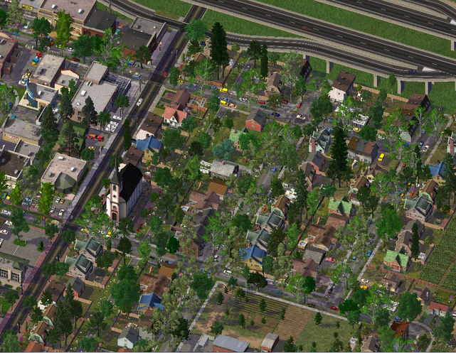
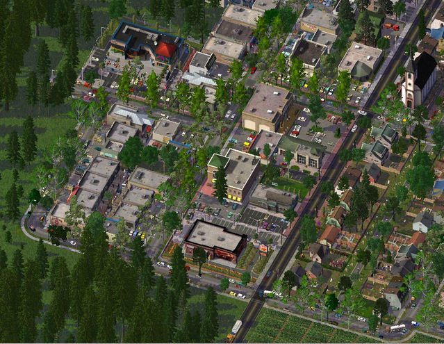
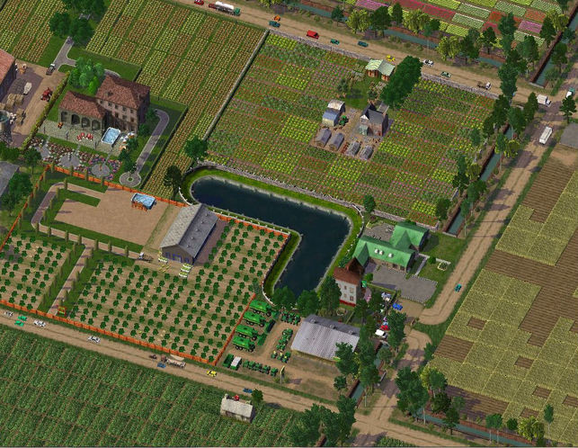
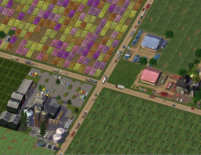
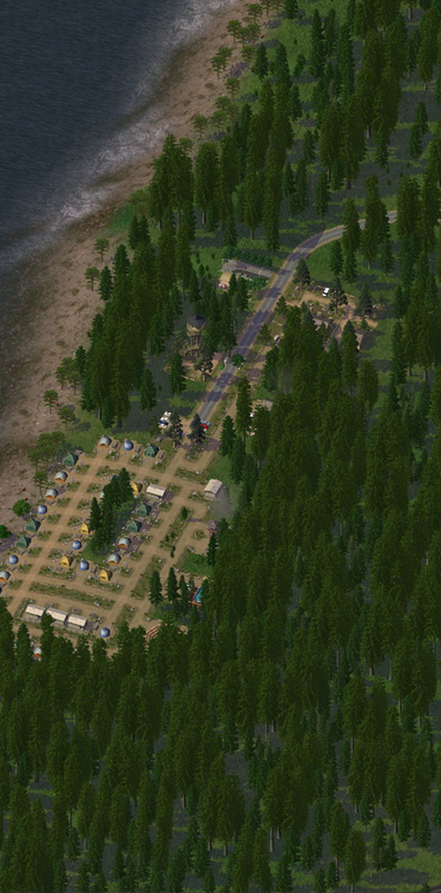
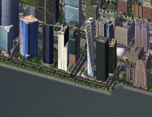
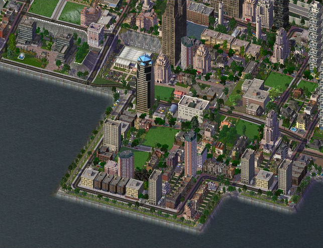
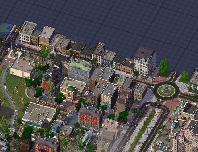
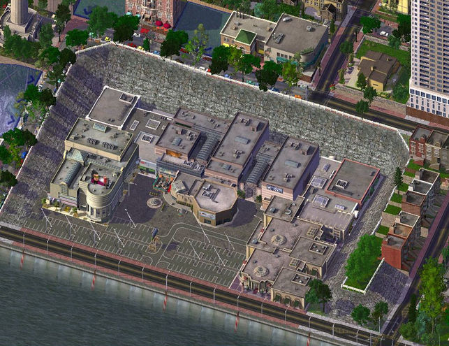
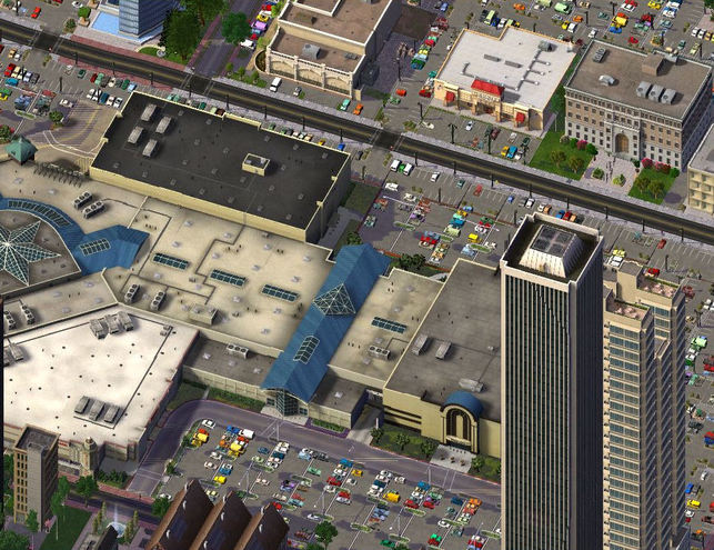
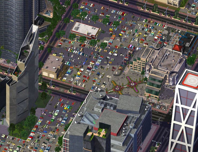
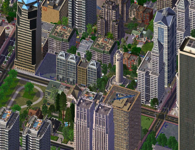
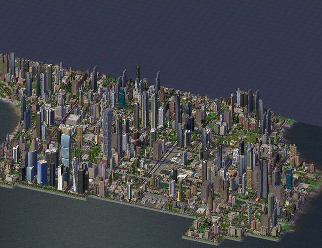
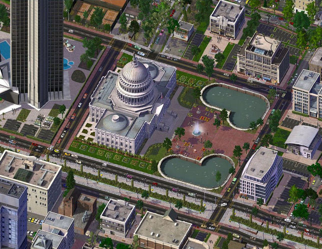
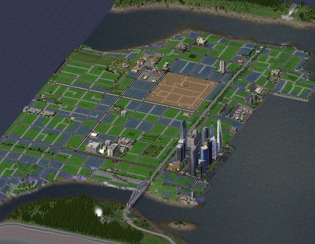
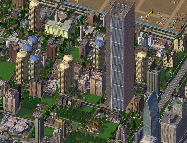
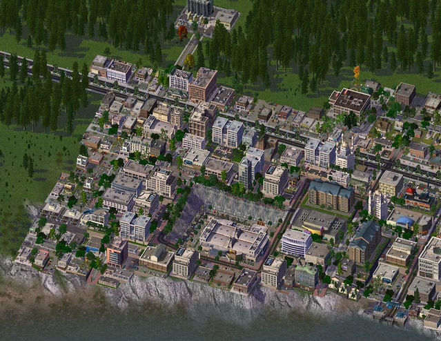
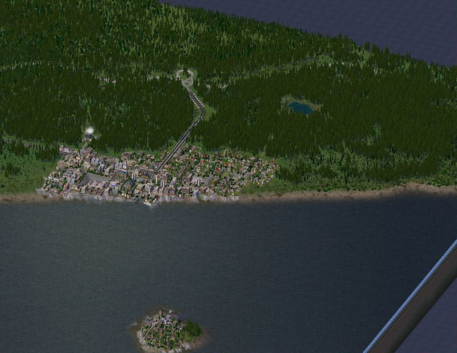
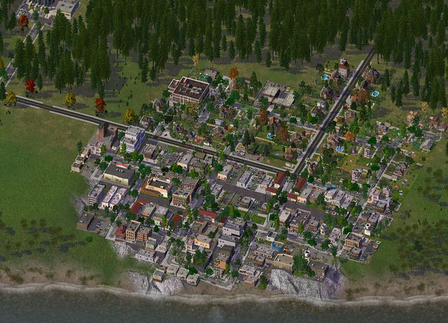
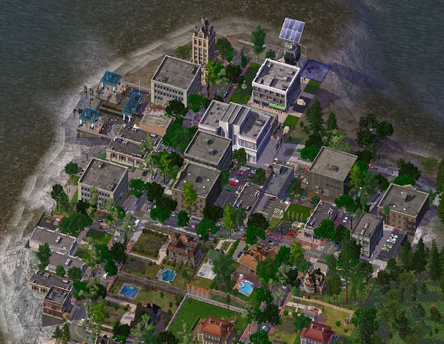
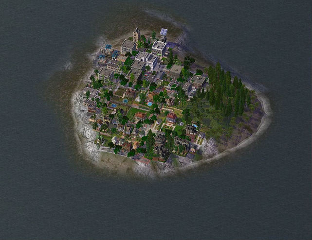
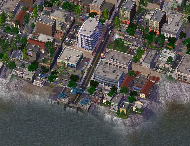
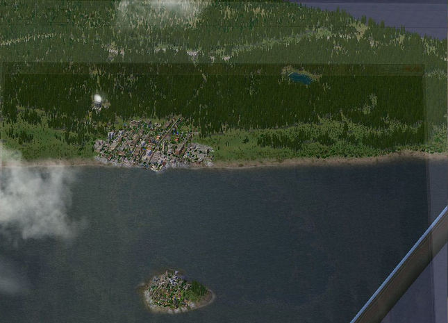
8.01: Here's a town overview. 
Picture
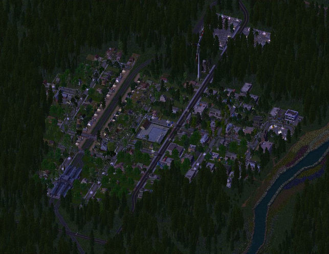
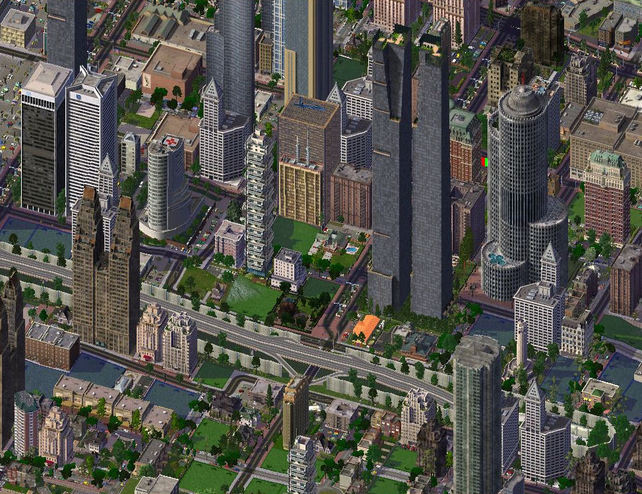
8.02: And here's a night view, just because :)
Picture
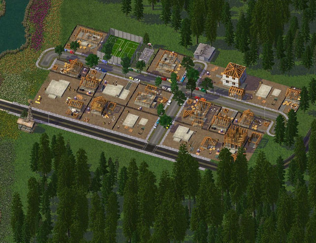
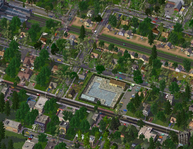
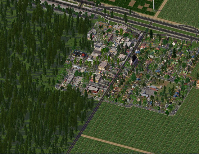
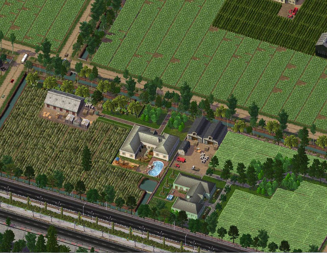
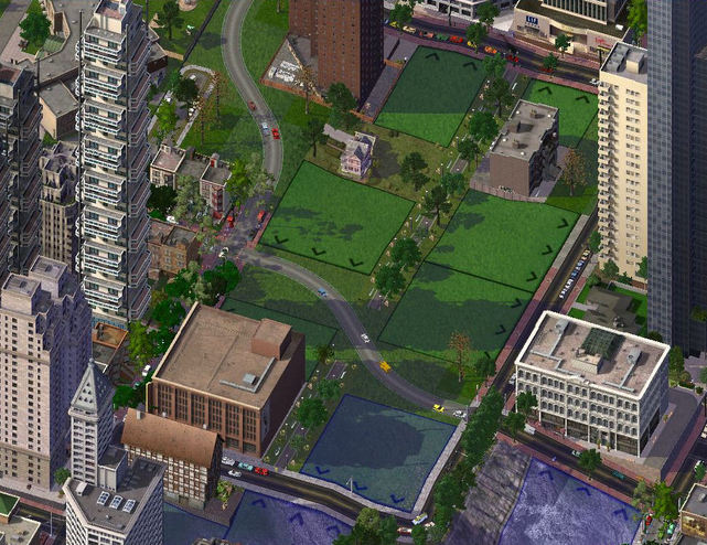
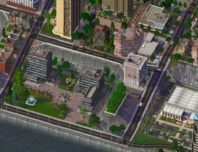
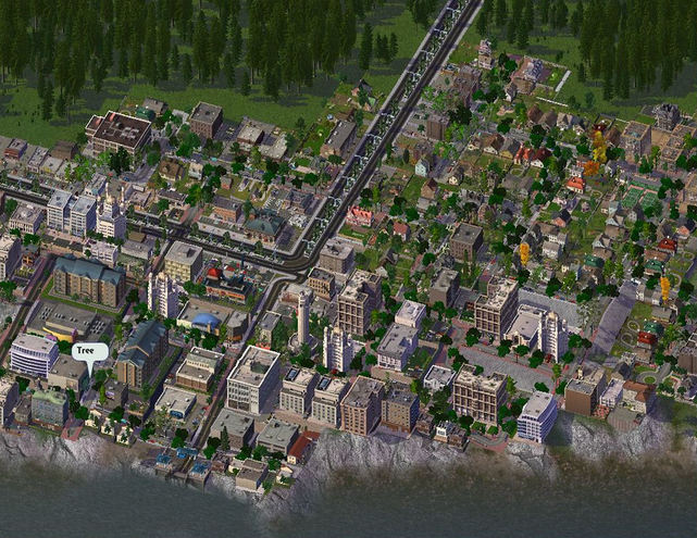
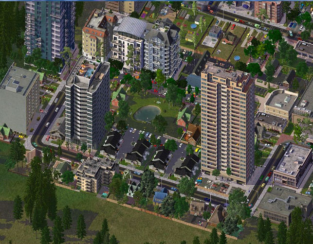
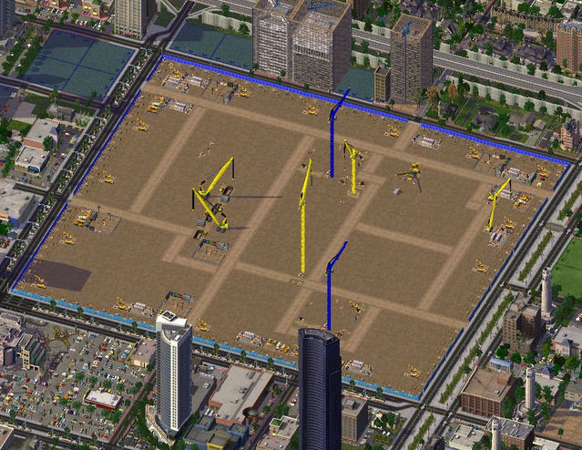
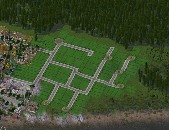
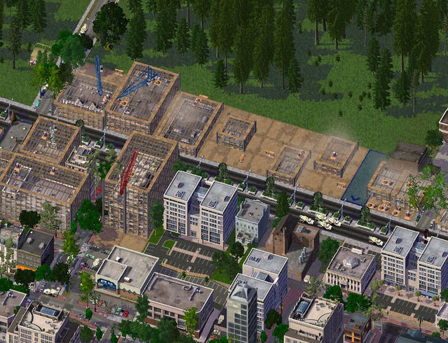
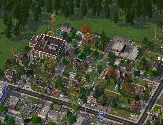
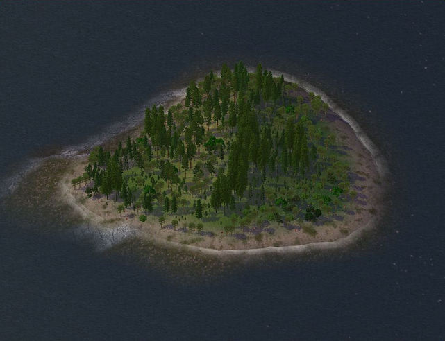
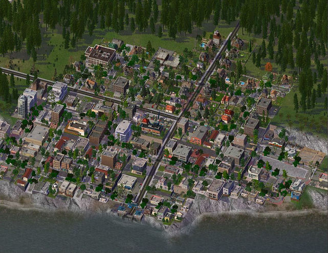
8.03: This is the small community of Colgrove, just a residential block a kilometre away from Hixon, being built. 
Picture
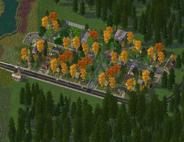
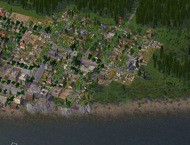
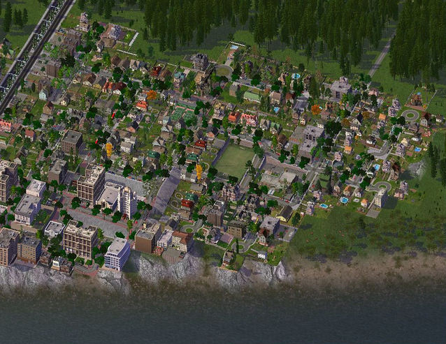
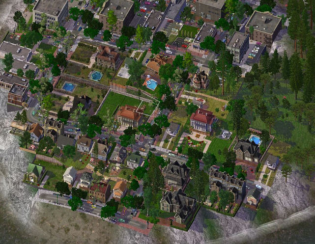
8.04: And here it is complete. 
Picture
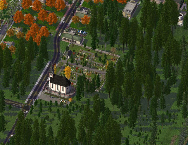
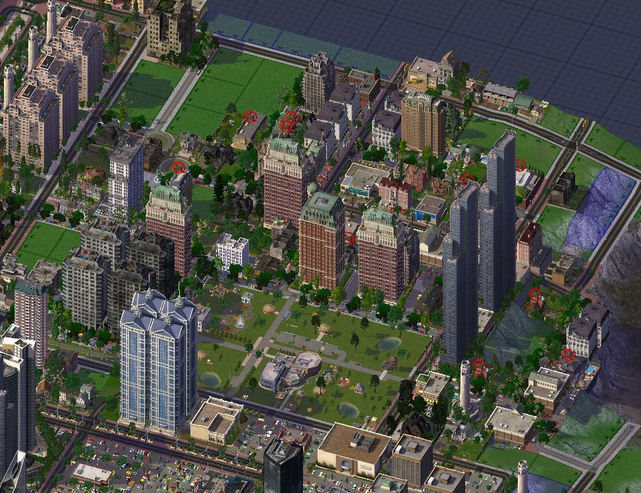
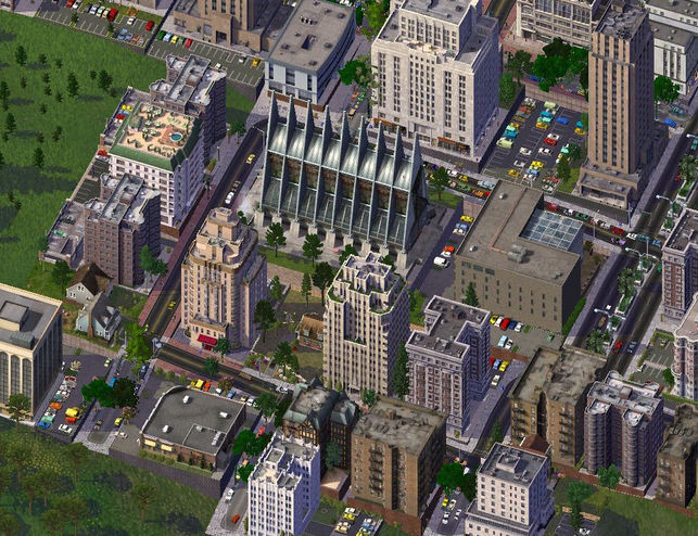
8.05: Colgrove Church, the oldest building in Hixon, built in 1866, by the family of Joseph Hixon. 
Picture
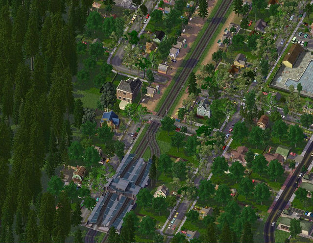
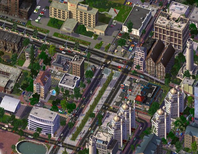
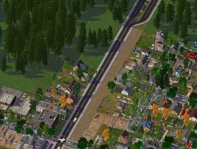
8.06: The Cascadian Railway Network (CRN) passes through Hixon. Lots of passengers commute with the CRN, so every town it passes through have modern, well-equipped rail stations. 
Picture
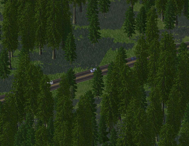
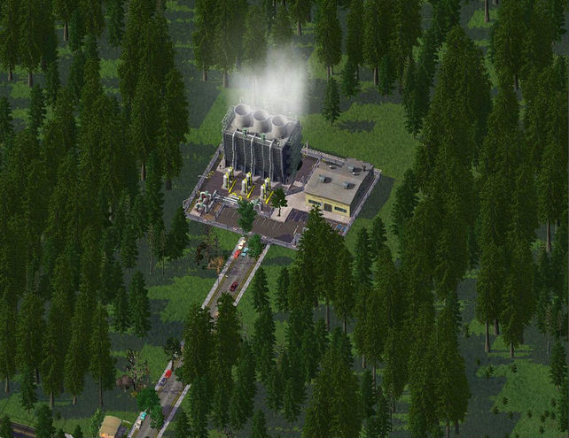
8.07: Where do they think they're going? There isn't anything in the direction they are heading. 
Picture
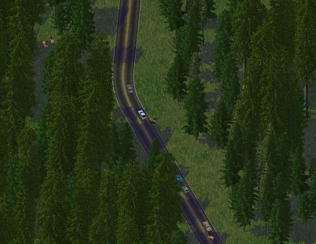
8.08: A solitary pedestrian walking through the middle of nowhere? Smart. 
Picture
8.09: Almost road kill there. There was three of them crossing earlier, and caused a car accident. 
Picture
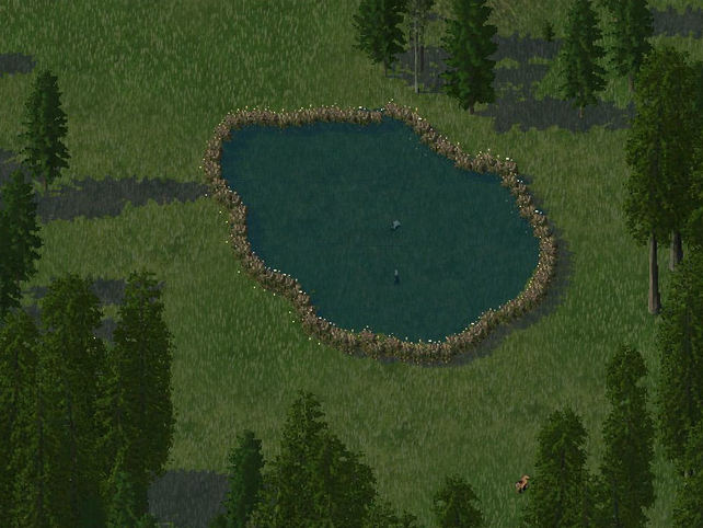
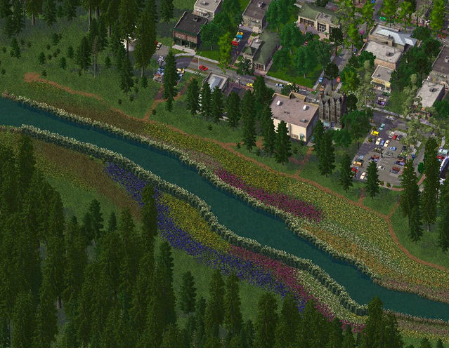
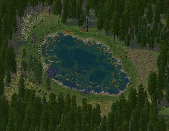
8.10: Since when are llamas amphibians?
Picture
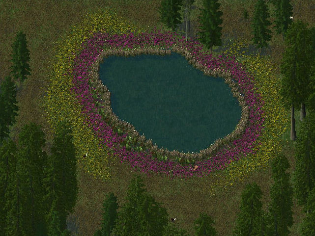
8.11: And the finished pond. No llamas drowned in the making of this pond :D.
Picture
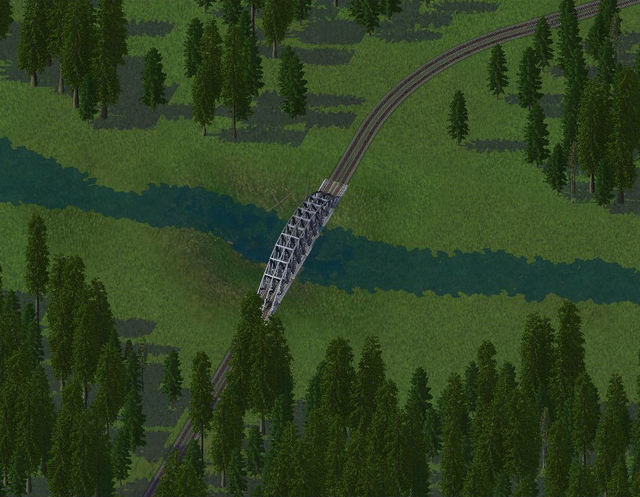
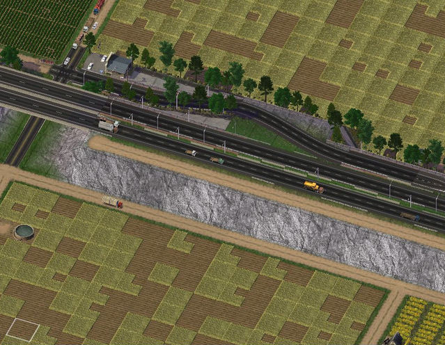
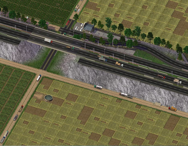
8.12: Just for Bernhard (Nardo69 on SC4D). 
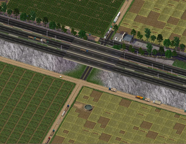
"canyonjumper, I could have forgiven the flare (I don't like too much PS) and I wouldn't have said anything if there were only one level crossing but two of them so close to each other - no way!"
Better?
Picture
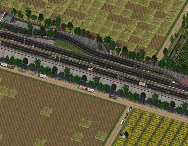
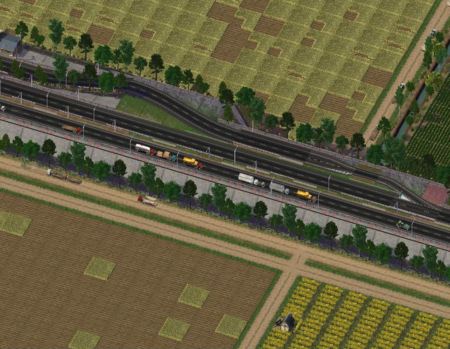
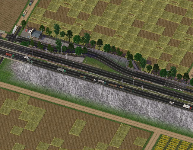
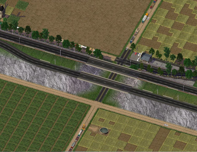
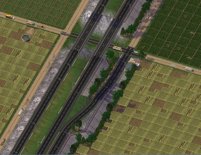
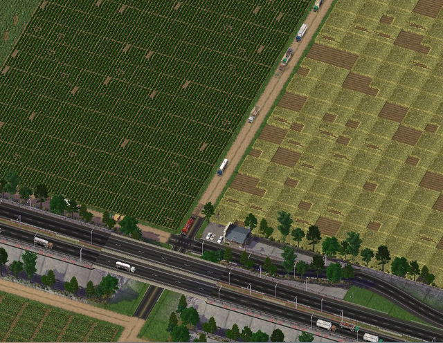
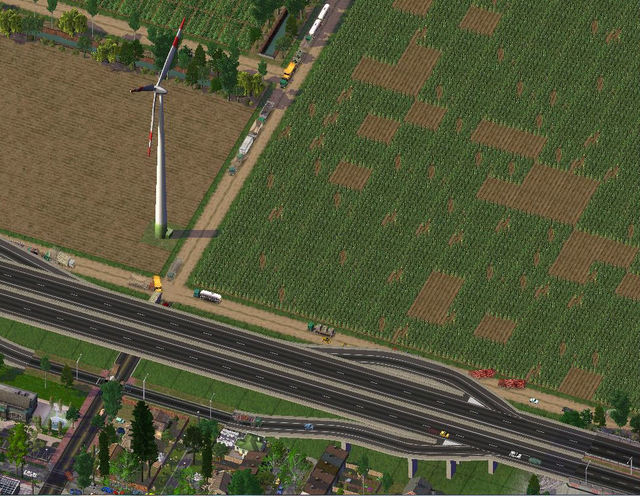
8.13: And next time...Duncan. I'm trying out a new turning lane mod, so let me know what you think. 
Picture
And that was Update 8! See you guys next time!

                    -Jordan
 
Picture
Guess what? Another teaser :D!

T4.01: Here is the Hixon townsite. 
Picture
T4.02: And here is the Chilcotin River: 
Picture
Thanks guys for reading! :D

                                       -Jordan
 
Picture
T3.01: Welcome to Hixon, (pop. 367)! I'm sure most BC residents know the name :D. For those that don't, read this
Picture
T3.02: And a teaser of what I'm planning to do in Hixon. 
Picture
It obviously isn't ready yet, so that is the best shot I've got. Thanks Battlecat for that tutorial he posted in Adara a few updates back, 
I hope you are now waiting eagerly to see the full Hixon and Chilcotin River. I'm short on time, so replies will be done next time. Thanks!

                  -Jordan
 
Picture
Today's update focuses on the addition of a median to Exit 34. 

7.01: Before the improvement project, there was no median between the lanes. 
Picture
7.02: The frontage road beside the highway is moved over. 
Picture
7.03: Retaining walls are removed, and original frontage road demolished. 
Picture
7.04: Grading begins on the new lane. 
Picture
7.05: The new lane is built. 
Picture
7.06: The overpass is built. 
Picture
7.07: The old lane is demolished, along with the old overpass. 
Picture
7.08: An overview of the exit, beautifications to be finished at a later date. 
Picture
7.09: And now for some shots around the area. The residential area. 
Picture
7.10: The commercial area. 
Picture
7.11: An overview of the Chilliwack town site. 
Picture
7.12-14: And some farms for your eyes to enjoy!
Picture
Picture
Picture
7.15: And Exit 39 on the outskirts of the farms. 
Picture
7.16: And a mosaic of Chilliwack Regional Campground to finish things off. 
Picture
Thanks for reading, and hope you enjoyed the latest update of Cascadia!

                             -Jordan
 
Picture
I was working on a new rural region, and these are two screen shots from Chilliwack, a rural community. I implemented the RHW into this town, and it fits better than the Maxis ones, so I am quite pleased with the way it turned out. And now, when look at them, I realize I forgot to turn the grid off :P

T2.01: Some farmland around Exit 34, the subject of Update 7. 
Picture
T2.02: Exit 36 by the townsite. 
Picture

Be back with more later!

                       -Jordan
 
Picture
Today's update is in Richmond West, and shows you around the interesting places that I plopped and grew. Richmond West is rather large, (pop. 695 757). The empty zones are only there because the city hasn't finished growing yet. And I kept getting duplicates, or buildings that didn't quite fit with the overall theme I had in mind for the area. 

6.01: First I think, a pic of downtown. 
Picture
6.02: Here's some suburbs partially done. 
Picture
6.03: I really like how the streets turned out here. Very 'non-griddy'. 
Picture
6.04: Here's a 'second downtown' of sorts. All grown except the hospital. 
Picture
6.05: Here's Central Park, surrounded by a residential area (maybe a bit too residential). 
Picture
6.06: Here's a small W2W section of the city
Picture
6.07: A small ghetto of sorts by the bridge to YVR (Vancouver Int'l Airport). 
Picture
6.08: A second shot of downtown. 
Picture
6.09: One of the many freeway exits. Hmm.. I forgot soundwalls on the one side.
Picture
6.10: Here's OceanSyde Mall, a 'mall for all your shopping needs, be they small, tall, or as big as a house' (direct quote from their Ad campaign :D)
Picture
6.11: This is the Matt Office Complex, containing the Edgren Law Firm, and Meaden Planning Agency, which the city hires to plan out the city. Is it a coincidence that Coke Stadium is right across the street? 
Picture
6.12: Richmond Centre is the premier shopping destination of Cascadia. It has an underground theme park to rival the West Edmonton Mall
Picture
6.13: Just a parking lot. 
Picture
6.14: This is the Cascadia Light Rail terminus in the Arthur Rooke residential district. 
Picture
6.15: I really like how this shot turned out. I had to do alot of bulldozing and rezoning to get that right. 
Picture
6.16 And another residential area. 
Picture
6.17: And the long overdue overview of Richmond West. Not very centralized is it? Well this is my first larger city. 
Picture
And that's all for today. Whew, that was a large update :D. See you guys next time, and again, thanks for the comments guys, keep 'em coming. 

                 -Jordan
 
Picture
This update is in three parts, the first is a fact sheet I had some time to make.


                                          Part 1 - Fact Sheet

                                                                                                   CASCADIA
BACKGROUND:
In June 2010, the leaders of British Columbia, Washington, Oregon, Idaho, and California got together for an environmental meeting. During the meeting, Premier Gordon Campbell of BC jokingly suggested that he thought the best way to protect the forests of the Pacific would be to create an independent nation. He argued that the forest could be better protected if the same laws and bylaws were in effect along the length of the Northwest Pacific. The leaders of the American states could find no major cons about this idea. On January 1st, 2011, Rodyl Damor was sworn in and the papers signed. The Pacific Nation of Cascadia was born.

OFFICIAL NAME: Pacific Nation of Cascadia
Picture
LANGUAGE: English

DEMONYM: Cascadian

POPULATION: 54 506 417 (2011 est.)
   DENSITY: 58/km2 (150/sq mi)

CAPITAL: RICHMOND WEST - 974 386 (2011 est.)

LARGEST CITY: Seattle - 1 104 657 (2011 est.)

ESTABLISHED: January 1st, 2011

PRIME MINISTER: Rodyl Damor

AREA:   LAND: 938 372 km2 (362,307 sq mi)
               WATER: 59 474 km2 (22,963 sq mi)
               TOTAL: 997 846 km2 (385,271 sq mi)

CURRENCY: Dollar ($)(CCD)

TIME ZONE: Pacific, Mountain

FLOWER: Pacific Dogwood (Cornus nuttallii)

TREE: Douglas Fir (Pseudotsuga menziesii)

BIRD: Stellar's Jay (Cyanocitta stelleri)

DRIVES ON THE: Right

INTERNET TLD: .cs
                                      Part 2 - Douglas Shores


This part is an update to Douglas Shores.

5.01: In 2012, the need for a new provincial building grew, and the government took Douglas Shores under consideration. Eventually, Douglas Shores was selected for the location, and construction began in July 2012. Highway 431 was also upgraded and beautified.  
Picture
5.02-03: After too many accidents at this intersection, The city approved a redesign, and upgrade. Before and After.
Picture
Picture
5.04: This is the SkyRise Hotel and Casino, the first casino in Douglas Falls. I don't know why they built it right next to the legislature. Maybe the MP's wanted to gamble after work :D
Picture
5.05-07: Here are some shots of the outskirts:
Picture
Picture
Picture
                                      Part 3 - Richmond West

This last part is an introduction to Richmond West, the Urban area I showed you in the teaser. The whole city was plopped and layed out first, while in pause, then watered and powered and unpaused. Richmond West is built on the west side of Lulu Island, where real-life Richmond is built. YVR (Vancouver Int'l Airport) is the island at the bottom of the page. 

5.08: This is how it was plopped and layed out. 
Picture
5.09: I guess the Pan-Am guys wanted to build their building in the suburbs. I've solved the Sheraton hotel multiplication problem. 
Picture
5.10: Hmm.. what could be going here?
Picture
5.11: Maybe this? You see all those parking lots? Each tile, plopped. That took forever :D
Picture
That's all for the moment folks. Check back for the next update, where I'll show you around Richmond West some more. 

                            -Jordan
 
Picture
There will be a proper update with replies soon. For now...
Picture

Happy New Year!!

               -Jordan
 
Picture

Meanwhile, In Douglas Shores...

4.01: 
A private contractor bought some land and prepped it for development. He thought the city needed more residents. What town doesn't?
Picture
4.02: Of course the contractor thought right, the developments were filled within months.
Picture
4.03: The same contractor bought this plot of land, after his succesful developments. He turned it into a mall. 
Picture
4.04: The council decided it was time to upgrade Hwy 431 to 4 lanes. Construction started from the Hwy 401 interchange onwards into the center of town. 
Picture
4.05
Picture
4.06: Areas along the highway were rezoned, and quickly redeveloped. 
Picture
4.07: This is the commercial area of town. 
Picture
4.08: This is the middle section of town. 
Picture
4.09: This is the residential area. 
Picture
4.10: And an overview...
Picture
4.11: And two region shots. I'm not finished rendering the region yet. Douglas Shores is first, then Lakesyde. 
Picture
4.12:
Picture
That's all for now folks...Happy Holidays and Merry Christmas!


                     -Jordan
 
Picture
3.01: Today's update is set in Douglas Shores, 35 kilometers (approx.) from Lakesyde. 
Picture
3.02: Here's an overview
Picture
3.03: The schools of Douglas Shores. Douglas Secondary is on the left, and J.H. Lemeuw Elementary on the right. 
Picture
3.04: Hmmm. I guess it's not an ordinary farm. This was left over from when the US owned operated this land as a military base. It was left behind, and forgotten. With today's cutting edge research, we can examine the facility without getting too close...otherwise the barn roof opens up to reveal a deep chasm. 
Picture
3.05: Some development...
Picture
3.07: Morach Island, out in Douglas Bay. Developers have chosen it to build a small townsite, with a ferry connecting it with the mainland. 
Picture
3.08:
After development...
Picture
3-09
Picture
3.10: And the whole island again...
Picture
3.11: The waterfront...
Picture
3.12: Cascadia's initiative for clean energy means harnessing the heat from the mantle, with a geothermal power plant. 
Picture
3.13: A town overview, after some more work. 
Picture
3.14: My little experiment with ploppable water...
Picture
3.15: And overall overview, including Morach I., my experiment, and Douglas Falls. I apologize for the minimizing window. 
Picture
Now, before I leave you, a teaser for somewhere in the near future...
3.16:
Picture
                       -Jordan